
Giải mã đề IELTS Reading: Bathymetry (Đo đáy biển) – Dịch & đáp án chi tiết


Tóm Tắt Nội Dung Bài Viết
Giải mã đề IELTS Reading: Bathymetry (Đo đáy biển) – Dịch & đáp án chi tiết


Tóm Tắt Nội Dung Bài Viết
Bathymetry (Trắc địa đại dương) là một chủ đề khoa học thú vị thường xuất hiện trong các bài thi IELTS Reading. Bài đọc này không chỉ cung cấp kiến thức về địa lý, lịch sử thám hiểm đại dương mà còn chứa lượng từ vựng học thuật phong phú về công nghệ và môi trường.
Trong bài viết này của ECE, chúng ta sẽ cùng đi sâu vào tìm hiểu nội dung bài đọc, phân tích từ vựng quan trọng và giải mã chi tiết từng câu trả lời để giúp bạn ôn luyện IELTS hiệu quả nhất.
Nội dung bài đọc IELTS Reading: Bathymetry
Dưới đây là nội dung gốc của bài đọc và bộ câu hỏi đi kèm. Bạn hãy thử sức làm trước khi xem phần đáp án nhé.
Bathymetry
A. The sea floor is often treated as the last frontier on earth, as it is still largely unexplored territory. Bathymetry, also known as the seafloor, involves mapping and measuring the depths of the underwater world. Much of the ocean floor remains unmapped today. This is because collecting bathymetric data in the deep sea is a time-consuming and complex task.
B. Two hundred years ago, most people had an assumption that the ocean floor resembled a beach or shore. During the 19th century, attempts to map the seafloor consisted of unloading heavy fishing lines from a boat and waiting for the line’s tension to change. Water depth was determined by measuring the slack when the handline touched the seabed. Each of these measurements was called a sounding, and thousands of soundings had to be made to get a rough measurement of a small portion of the ocean floor. In addition to depth estimates, these surveys helped identify major vessel hazards, especially near shore. A Naval officer published the first evidence of seamounts in 1855 in a bathymetric chart.
C. During World War I, scientists developed techniques to measure sound waves in the ocean. The Anti-Submarine Detection and Invention Committee (ASDICs) was the original name for these underwater acoustic projectors, but by World War II the United States and many other countries had adopted the term sonar. Sonar, short for Sound, Navigation, and Ranging, was first used to detect icebergs and submarines. By calculating the time it takes for a sound signal to reflect back to the original source, sonar was able to measure the depth of the ocean and the depth of objects within it. The first sonars were passive systems that could only receive sound waves. In the 1930s, a single beam sonar was used to transmit sound waves in a vertical line from the ship to the seafloor. Sound waves were recorded as they returned to the ship from the surface. However, this type of sonar was more useful for detecting underwater objects than for mapping the sea bed. During World War II, technology improved and active sonar systems were used that both received and produced sound waves. It was the invention of acoustic transducers and acoustic projectors that gave way to this modern sonar. A new system has made it possible to identify specific substances such as rocks and mud. Because mud absorbs a significant portion of the acoustic signal, it provided a much weaker echo than rock, which reflects much of the sound wave.
D. Hull-mountable multi-beam sonars were developed in the 1960s. With this type of sonar, multiple beams can be fixed at different positions to study larger areas of the ocean. Maps created using multibeam sonar helped explain the formation of ridges and rifts such as the Ring of Fire and the Mid-Ocean Ridge. The Ring of Fire is the zone that surrounds the Pacific Ocean and is famous for its seismic activity. Stretching from the coast of New Zealand to the coasts of the Americas, this region is home to more than 75% of the world’s active and dormant volcanoes. The mid-ocean ridge is part of a seamount that is 12,000 feet high and 1,200 miles wide. These mountains, which zigzag around the continent, are widely considered to be the most prominent topographic features on Earth.
E. Another modern step forward in the field of bathymetry was the invention of the side-scan sonar. This kind of sonar is pulled by cables, which lets it send and receive sound waves over a large area of the seafloor at much lower angles than the multi-beam sonar. Side-scan sonar is useful because it can discover very specific features over a large area. Satellite data from space is the most modern way to do bathymetry, but it is also the least accurate. In the 1970s, this method started to be used. Radar altimeters that pick up echoes from the sea surface are used for this kind of mapping. These signals find out how far away the satellite is from the ocean floor. But Unfortunately, electromagnetic waves often slow down as they travel through the atmosphere because of water vapour and ionization. As a result, the satellite gets the wrong measurements. Using satellites to map the ocean is helpful because they can take pictures of the entire globe, even the places on earth that haven’t been measured by sonar yet. At the moment, satellite altimetry is mostly used to find places where detailed sonar measurements need to be done.
F. The topography of the seafloor is always changing because of the constant flux of plate activity. Scientists think that bathymetry will become one of the most important fields of study as people look for new energy sources and other ways to send and receive messages. A precise map of the seafloor will also be needed to protect the ocean’s ecosystem in the future.
Questions 1 – 6
Complete the table below. Write NO MORE THAN THREE WORDS.
MAPPING THE OCEAN FLOOR
| Method | First used | Used for | How to work |
| Weighted line | 1_________ | Determining 2________ | Drop a line until it hits the bottom |
| 3________ | 1930s | Detecting objects underwater | Send 4________ to ocean floor |
| Multi-beam sonar | 5_________ | Mapping larger areas of the different directions | Send multiple sound waves in |
| Satellite altimetry | 1970s | Taking pictures of 6_______ | Send signals from satellite |
Questions 7 – 10
Match each description below with the ocean region that it describes. In boxes 7-10 on your Answer Sheet, write
1. if it describes the Ring of Fire
2. if it describes the Mid-Ocean Ridge
7. It is known for the earthquakes that occur there.
8. It is over one thousand miles wide.
9. It is a mountain range.
10. It contains the majority of the earth’s volcanoes.
Questions 11 – 13
The list below gives some possible reasons for mapping the ocean floor.
Which THREE of these reasons are mentioned in the reading passage?
Write the appropriate Roman numerals i-vi in boxes 11-13 on your Answer Sheet.
i. Predicting earthquakes
ii. Finding new fuel resources
iii. Protecting ocean life
iv. Understanding weather patterns
v. Improving communications systems
vi. Improving the fishing industry
Tóm tắt nội dung bài đọc
Bài đọc nói về lịch sử và sự phát triển của Bathymetry (Trắc địa đại dương/Đo độ sâu biển).
-
Khởi đầu: Vào thế kỷ 19, con người đo độ sâu biển một cách thủ công bằng cách thả dây nặng (weighted lines). Phương pháp này tốn thời gian và chỉ cho kết quả thô sơ.
-
Sự phát triển của Sonar: Thế chiến I và II thúc đẩy sự ra đời của Sonar (định vị thủy âm). Từ các hệ thống thụ động ban đầu, công nghệ phát triển lên “Single beam sonar” (Sonar chùm đơn) vào những năm 1930 để phát hiện vật thể dưới nước.
-
Công nghệ hiện đại: Những năm 1960 chứng kiến sự ra đời của “Multi-beam sonar” (Sonar đa chùm), giúp vẽ bản đồ các khu vực rộng lớn hơn và giải thích các hiện tượng địa lý như Vành đai lửa (Ring of Fire) và Sống núi giữa đại dương (Mid-Ocean Ridge). Sau đó, “Side-scan sonar” và dữ liệu vệ tinh (Satellite altimetry) vào những năm 1970 cho phép quan sát toàn cầu, dù độ chính xác của vệ tinh còn hạn chế do ảnh hưởng khí quyển.
-
Tương lai: Bathymetry ngày càng quan trọng trong việc tìm kiếm nguồn năng lượng mới, cải thiện viễn thông và bảo vệ hệ sinh thái biển.
Tổng hợp từ vựng quan trọng trong bài đọc
-
Bathymetry (n): Phép đo độ sâu của biển/đại dương.
-
Seabed / Seafloor (n): Đáy biển.
-
Sounding (n): Việc đo độ sâu (bằng dây hoặc âm thanh).
-
Sonar (n): Hệ thống định vị bằng âm thanh (viết tắt của Sound, Navigation, and Ranging).
-
Transducer (n): Bộ chuyển đổi tín hiệu (thường dùng trong thiết bị sonar).
-
Topography (n): Địa hình học.
-
Seismic activity (n): Hoạt động địa chấn (động đất).
-
Dormant (adj): Ngủ đông (dùng cho núi lửa không hoạt động).
Đáp án và giải thích chi tiết
Dưới đây là phần giải thích chi tiết để bạn hiểu rõ tại sao lại chọn đáp án đó.
1. 19th Century
-
Vị trí thông tin: Đoạn B, dòng 2: “During the 19th century, attempts to map the seafloor consisted of unloading heavy fishing lines…”
-
Giải thích: Bài đọc nêu rõ các nỗ lực vẽ bản đồ đáy biển bằng dây câu nặng (weighted lines) diễn ra trong thế kỷ 19.
2. Depth
-
Vị trí thông tin: Đoạn B, dòng 4: “Water depth was determined by measuring the slack…”
-
Giải thích: Dây nặng (handline/weighted line) được dùng để xác định độ sâu (depth) của nước khi chạm đáy.
3. Single beam sonar
-
Vị trí thông tin: Đoạn C, dòng 8: “In the 1930s, a single beam sonar was used to transmit sound waves…”
-
Giải thích: Vào những năm 1930, loại thiết bị được sử dụng là “single beam sonar”.
4. Sound waves
-
Vị trí thông tin: Đoạn C, dòng 8-9: “…transmit sound waves in a vertical line from the ship to the seafloor.”
-
Giải thích: Cơ chế hoạt động của Single beam sonar là gửi (send/transmit) các sóng âm (sound waves) xuống đáy biển.
5. 1960s
-
Vị trí thông tin: Đoạn D, dòng 1: “Hull-mountable multi-beam sonars were developed in the 1960s.”
-
Giải thích: Sonar đa chùm (Multi-beam sonar) được phát triển vào thập kỷ 1960.
6. Entire globe / Earth
-
Vị trí thông tin: Đoạn E, dòng 11: “…they can take pictures of the entire globe, even the places on earth…”
-
Giải thích: Lợi ích của vệ tinh (satellite) là có thể chụp ảnh toàn bộ địa cầu (entire globe), bao gồm cả những nơi sonar chưa đo đạc được.
Questions 7-10: Matching (Ocean Regions)
Quy ước: 1 = Ring of Fire (Vành đai lửa); 2 = Mid-Ocean Ridge (Sống núi giữa đại dương)
7. 1 (Ring of Fire)
-
Câu hỏi: It is known for the earthquakes that occur there. (Nổi tiếng với các trận động đất).
-
Giải thích: Đoạn D viết: “The Ring of Fire… is famous for its seismic activity.” (Seismic activity đồng nghĩa với earthquakes).
8. 2 (Mid-Ocean Ridge)
-
Câu hỏi: It is over one thousand miles wide. (Rộng hơn 1000 dặm).
-
Giải thích: Đoạn D viết: “The mid-ocean ridge… is 12,000 feet high and 1,200 miles wide.” (1,200 miles > 1,000 miles).
9. 2 (Mid-Ocean Ridge)
-
Câu hỏi: It is a mountain range. (Là một dãy núi).
-
Giải thích: Đoạn D mô tả Mid-Ocean Ridge là “These mountains, which zigzag around the continent…” (Những ngọn núi này…).
10. 1 (Ring of Fire)
-
Câu hỏi: It contains the majority of the earth’s volcanoes. (Chứa phần lớn núi lửa trên trái đất).
-
Giải thích: Đoạn D viết: “…this region is home to more than 75% of the world’s active and dormant volcanoes.” (75% tương ứng với “majority”).
Questions 11 – 13: Multiple Choice (Reasons)
11. ii (Finding new fuel resources)
-
Giải thích: Đoạn F viết: “…as people look for new energy sources…” (Tìm kiếm nguồn năng lượng mới tương đương với fuel resources).
12. iii (Protecting ocean life)
-
Giải thích: Đoạn F câu cuối: “…needed to protect the ocean’s ecosystem in the future.” (Bảo vệ hệ sinh thái đại dương tương đương với protecting ocean life).
13. v (Improving communications systems)
-
Giải thích: Đoạn F viết: “…and other ways to send and receive messages.” (Gửi và nhận tin nhắn liên quan trực tiếp đến hệ thống viễn thông/communications).
Bài đọc Bathymetry là một tài liệu tuyệt vời để rèn luyện kỹ năng IELTS Reading dạng Table Completion và Matching. Việc hiểu rõ các thuật ngữ về địa lý và công nghệ không chỉ giúp bạn làm bài tốt mà còn mở rộng vốn kiến thức xã hội.
Hy vọng bài phân tích chi tiết trên đây từ ECE English đã giúp bạn nắm vững nội dung và cách tìm đáp án cho bài đọc này. Hãy tiếp tục theo dõi các bài viết tiếp theo của chúng tôi để cập nhật thêm nhiều tài liệu ôn thi IELTS chất lượng nhé!
Đoàn Nương
Tôi là Đoàn Nương - Giám đốc trung tâm ngoại ngữ ECE. Tôi hiện đang là giảng viên của khoa ngôn ngữ các nước nói tiếng Anh - Trường Đại Học Quốc Gia Hà Nội. Tôi đã có 19 năm kinh nghiệm giảng dạy IELTS và 15 năm là giảng viên Đại Học. Tôi mong muốn đưa ECE trở thành trung tâm ngoại ngữ cho tất cả mọi người, mang tới cho học viên môi trường học tập tiếng Anh chuyên nghiệp và hiệu quả.
Tìm hiểu các khóa học tại ECE
Tin Tức Cùng Danh Mục

The Concept of Childhood in Western Countries IELTS Reading: Dịch & giải chi tiết

The Magic of Kefir IELTS Reading: Dịch bài đọc & đáp án chuẩn
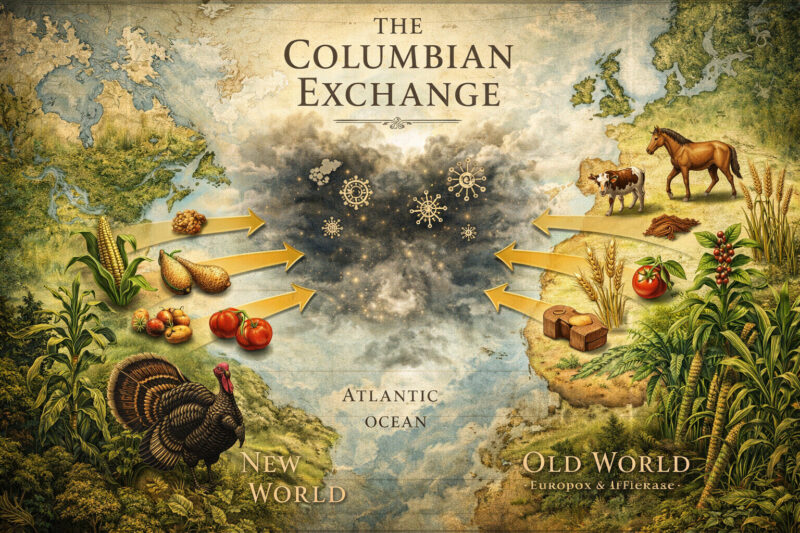
The Columbian Exchange IELTS Reading: Dịch & giải chi tiết A-Z

Giải mã bài đọc: Complementary & alternative medicine IELTS Reading

Stadium Australia IELTS Reading: Giải chi tiết & Dịch nghĩa
Các tin liên quan
The Concept of Childhood in Western Countries IELTS Reading: Dịch & giải chi tiết
The Magic of Kefir IELTS Reading: Dịch bài đọc & đáp án chuẩn
The Columbian Exchange IELTS Reading: Dịch & giải chi tiết A-Z
Giải mã bài đọc: Complementary & alternative medicine IELTS Reading
Stadium Australia IELTS Reading: Giải chi tiết & Dịch nghĩa

Television and Sport IELTS Reading: Dịch chuẩn & Giải đề chi tiết

The Invention of Television IELTS Reading: Từ vựng & đáp án chuẩn

Frogwatch IELTS Reading: Bài dịch & đáp án chuẩn nhất
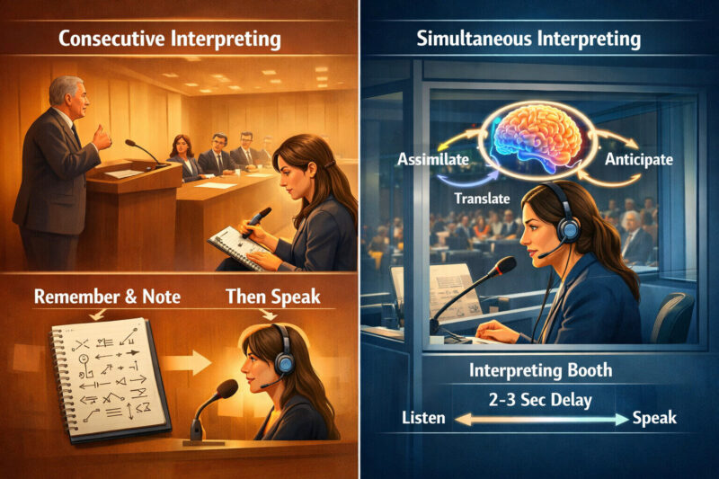
Consecutive and Simultaneous Translation IELTS Reading: Dịch chuẩn & Giải chi tiết

Fears IELTS Reading: Bản dịch chuẩn & giải chi tiết từ A-Z
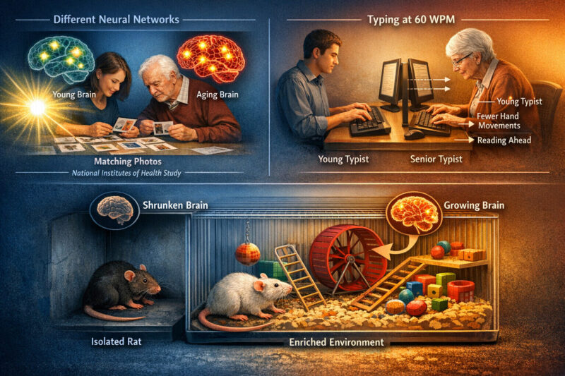
Memory and Age IELTS Reading: Dịch chuẩn & Giải chi tiết

Đáp án & từ vựng bài đọc Photovoltaics on the rooftop IELTS Reading


Lượt Đăng Ký

NHẬN TƯ VẤN NGAY
Vui lòng để lại thông tin để được tư vấn chi tiết lộ trình học và thi IELTS ở trên
